

Deschutes River Canyon (South) via Macks Canyon \ Railroad Grade Hike

Entry posted by Flutterbattyyy
2,897 views
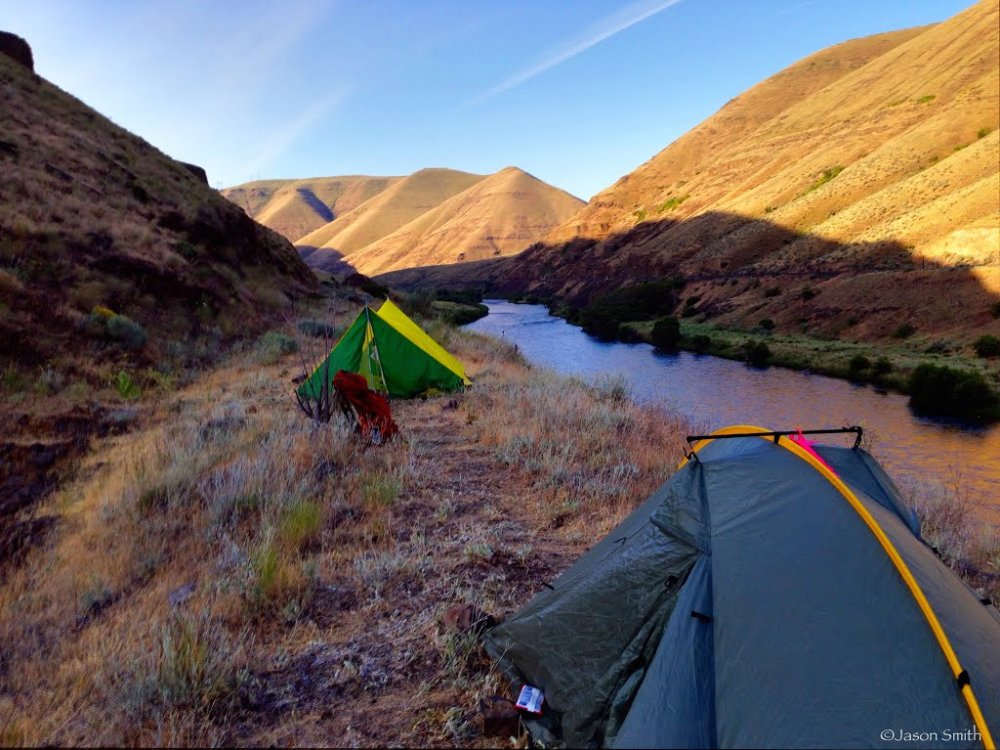
Camping at the Sixteen Canyon trestle crossing
During the end of May, we backpacked along the Deschutes River Canyon via the Macks Canyon Trailhead.
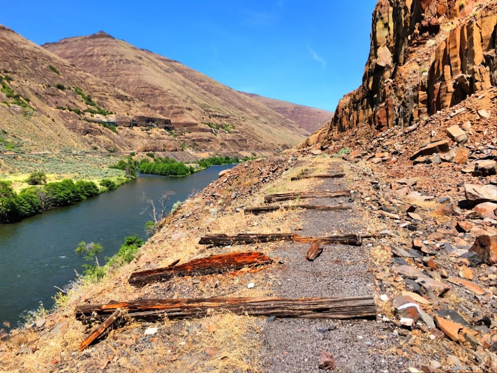
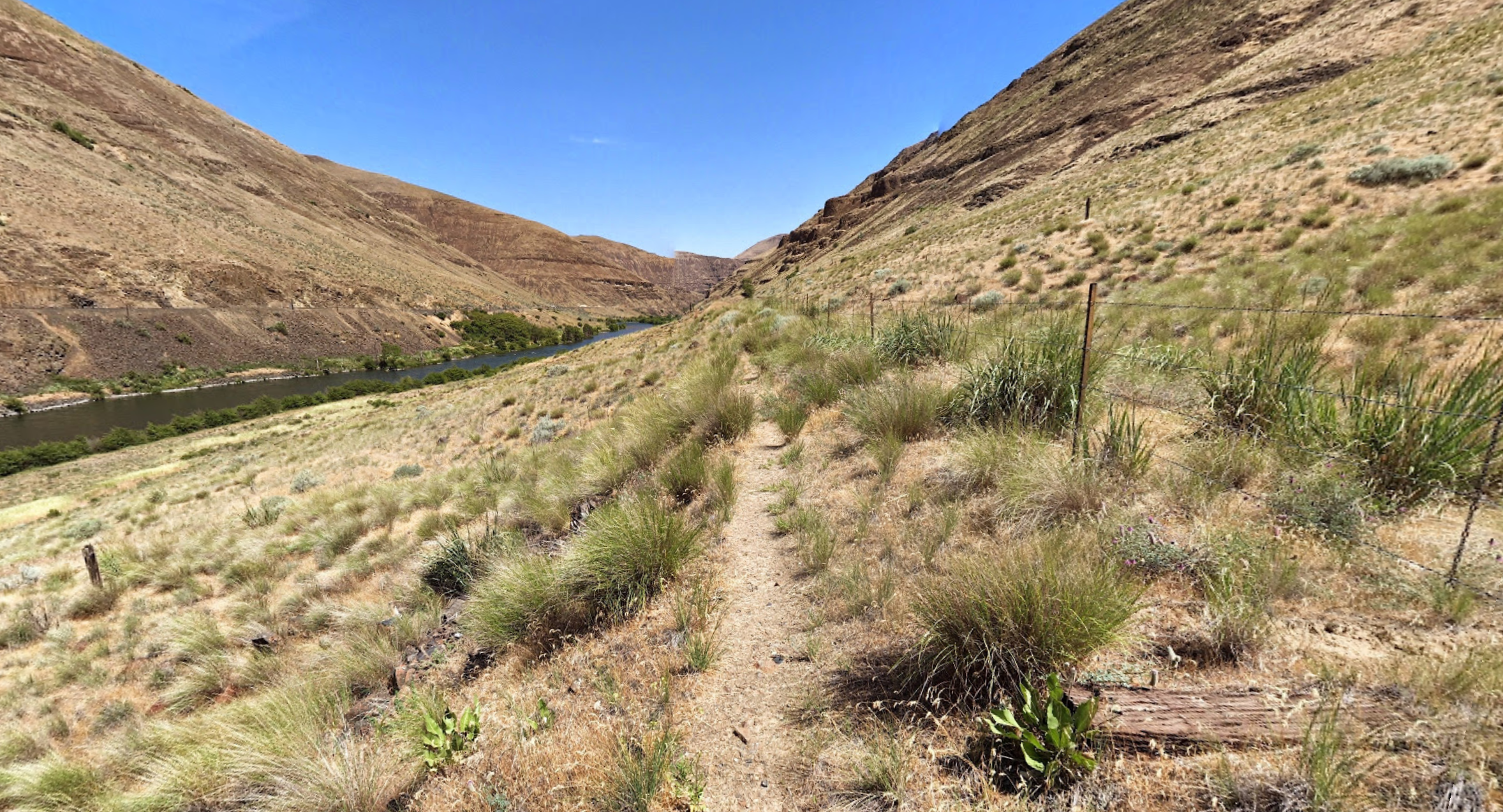
We hiked the southern end of the Deschutes River Trail, which is a rugged and rough trail following an old, abandoned railroad grade from around the 1910s (historical information on the Deschutes River railroad war). Many of the original rail ties can still be seen lying along the grade. The trail navigates around old trestle bridge locations, as the trestles no longer exist. Going in and out of them can be a bit challenging.
We camped on the edge of the trestle embankment on the edge of Sixteen Canyon. The view was amazing. I loved the site.
GPS track and map of our hike to Sixteen Canyon: 
The trail departing from the Macks Canyon Trailhead: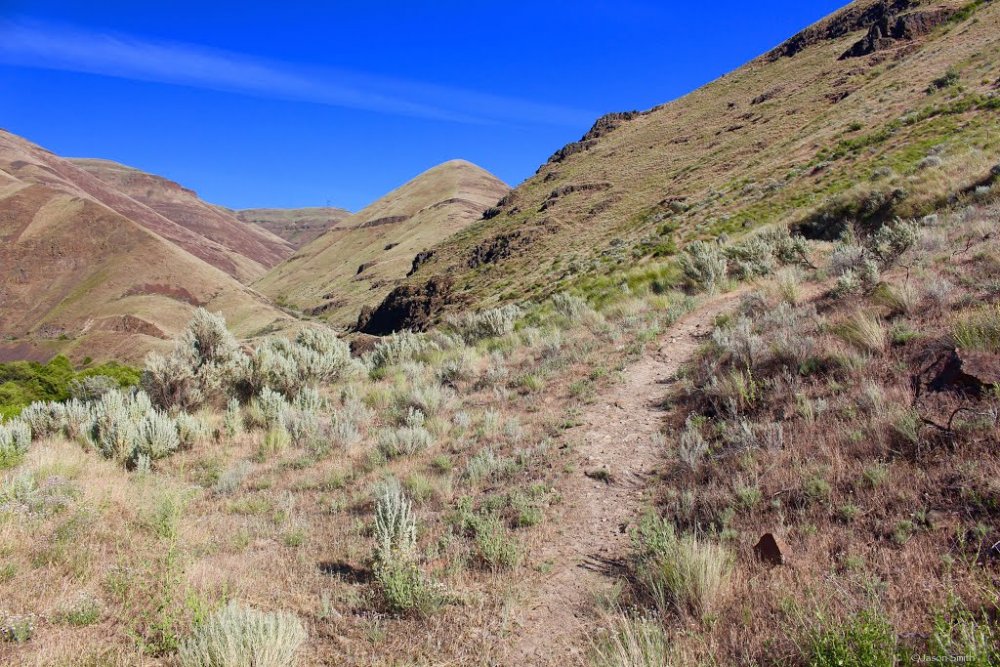
(Photo Sphere)
Crossing Macks Canyon: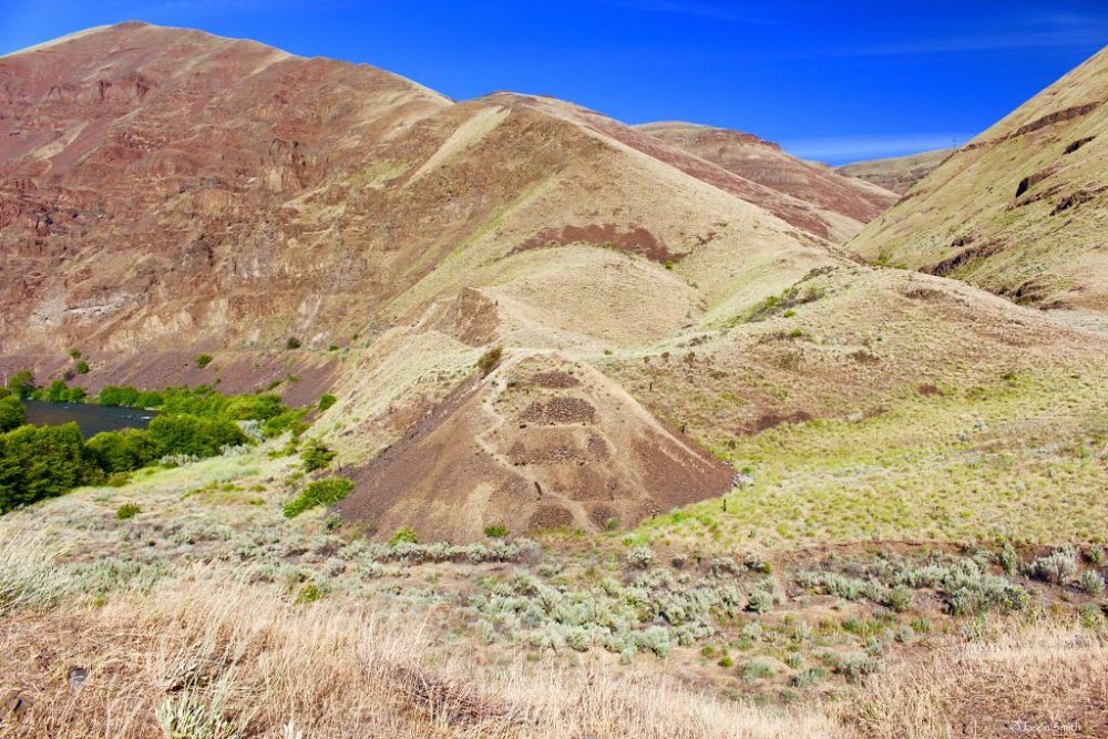
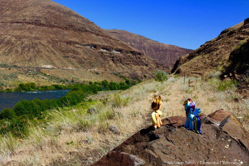
Once on the other side of Macks Canyon, we regained the railroad grade: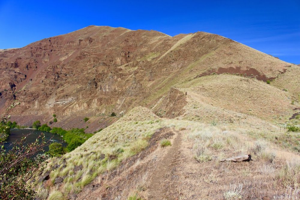
The trail seems to split here. We took the low route (the high route is up on that left-hand ridgeline):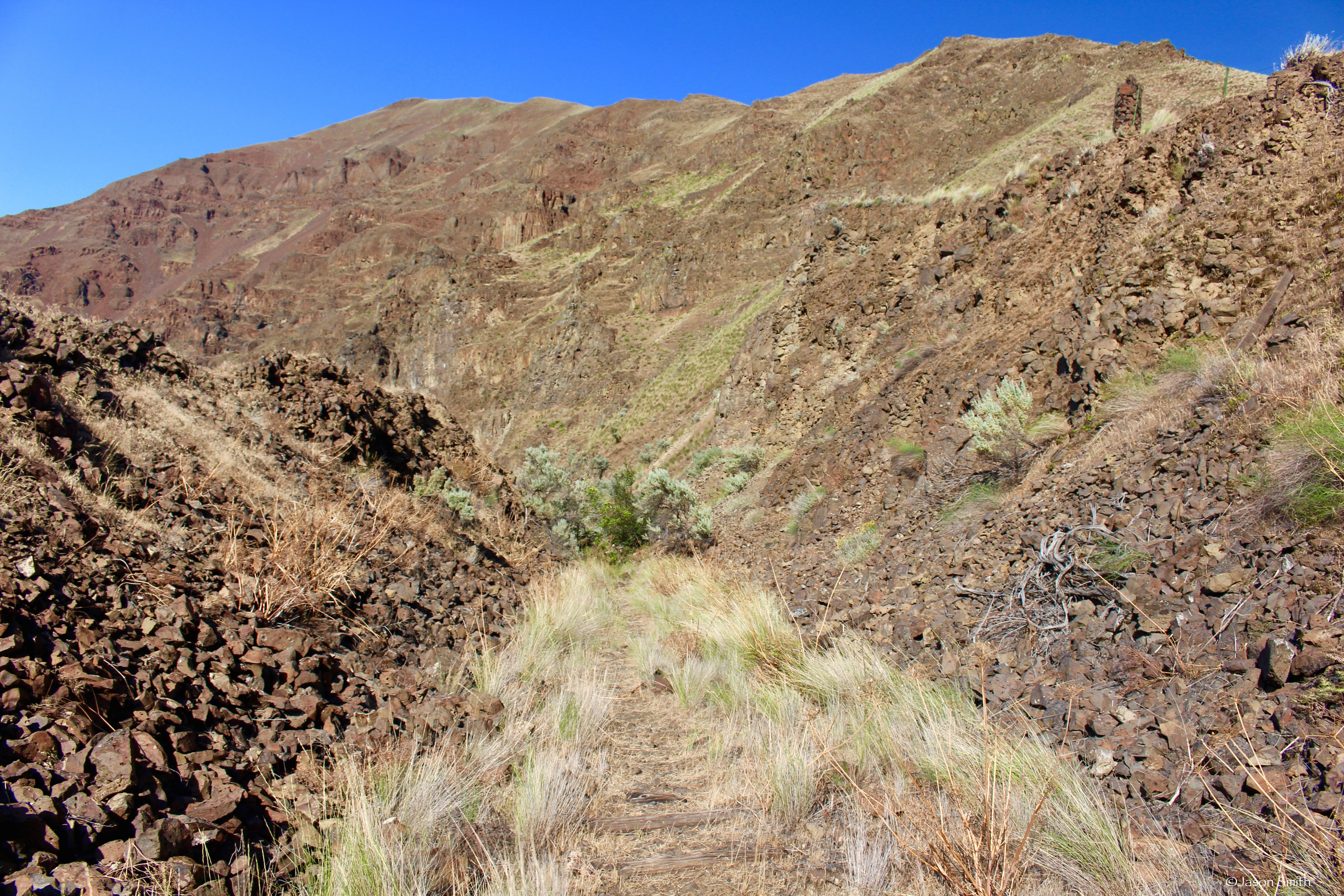
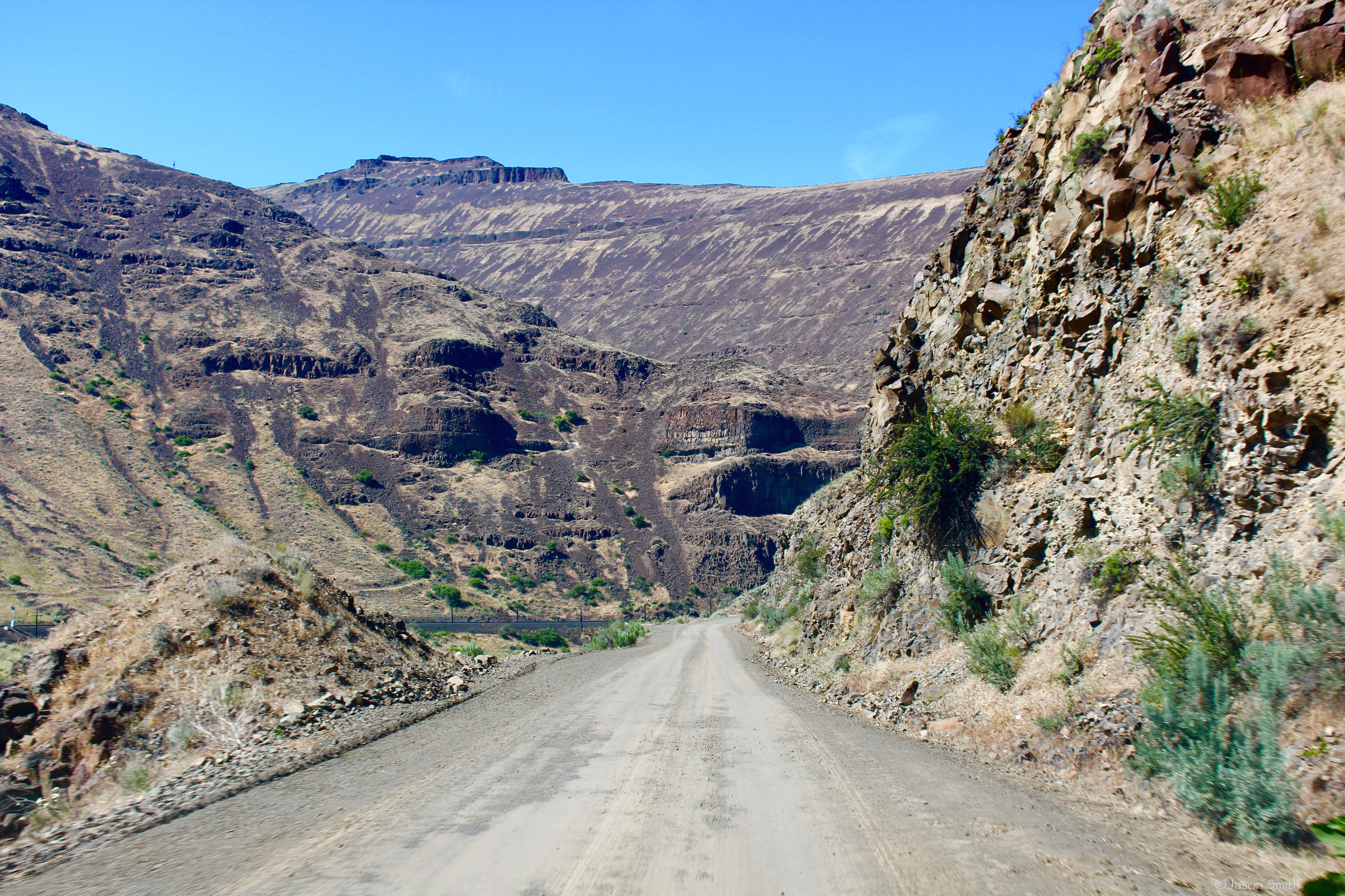
This section here had lots of rockfall, but was fairly easy to navigate. The trail is easy to follow the entire way to Sixteen Canyon.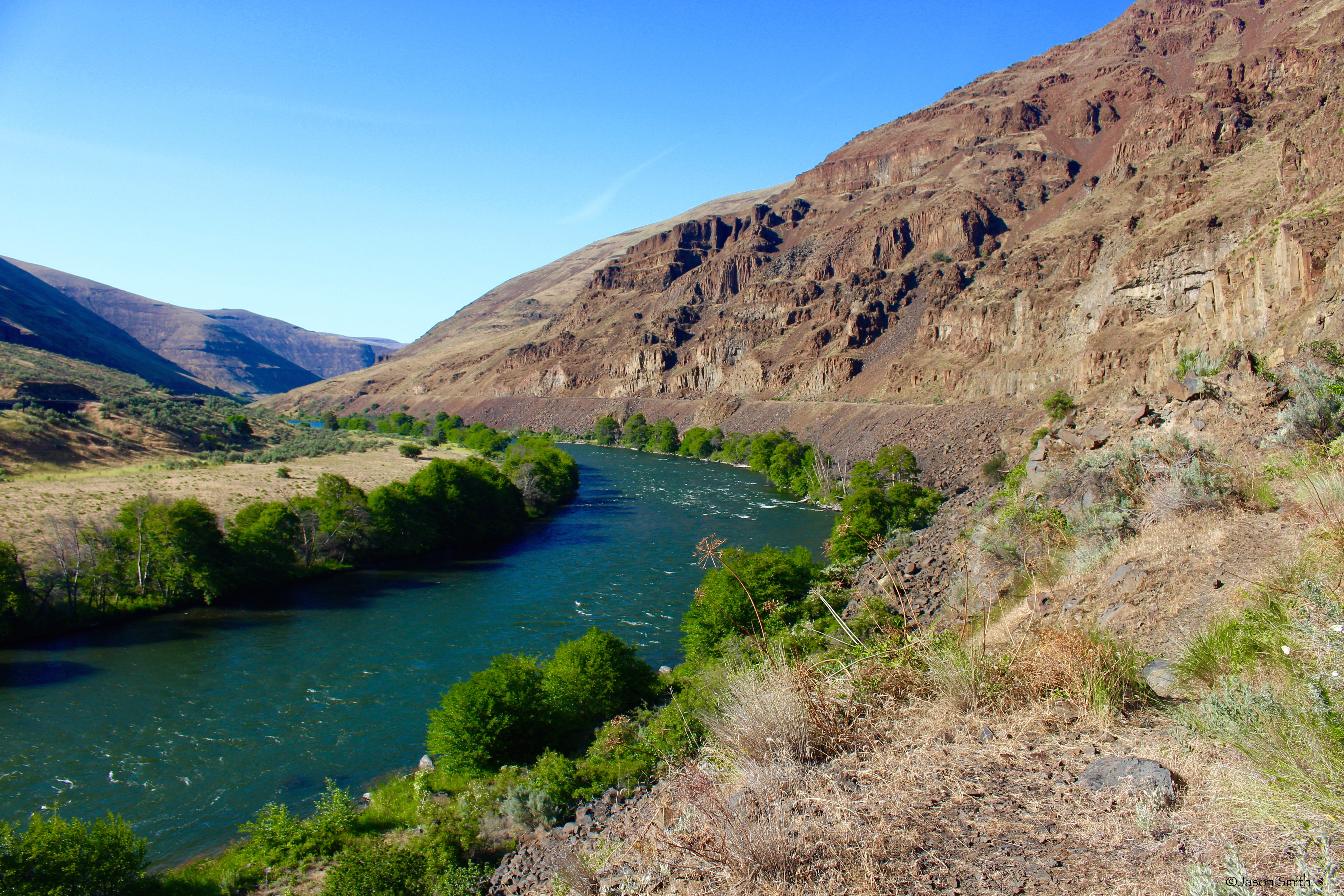
(Photo Sphere)
We reached the first set of rail ties and followed it for a while: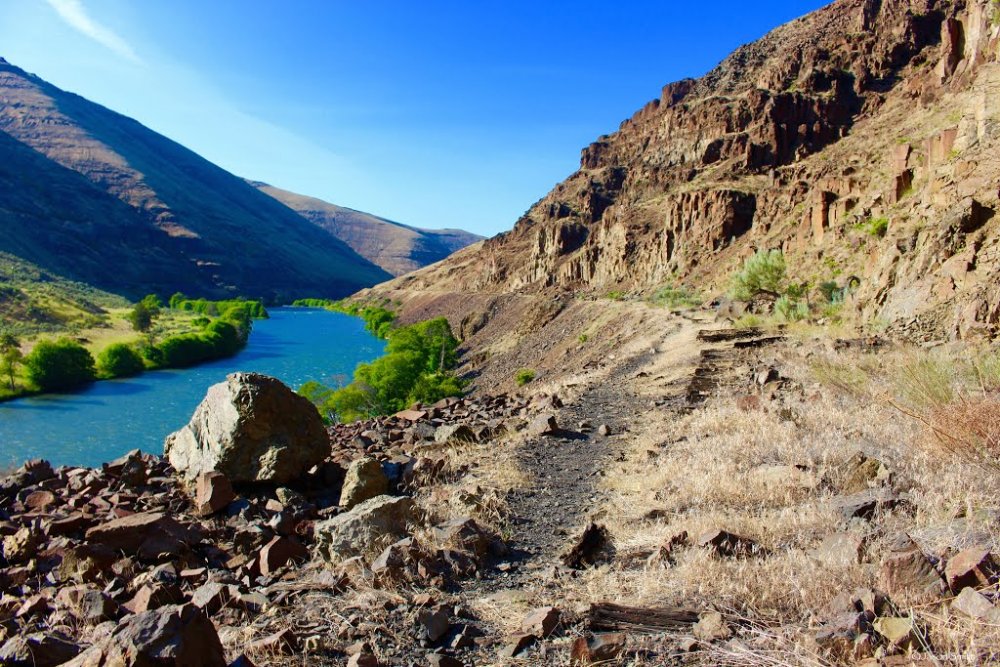
(Photo Sphere)
We crossed a few smaller trestle canyons, such as this one here. Going up these canyons weren't all that difficult.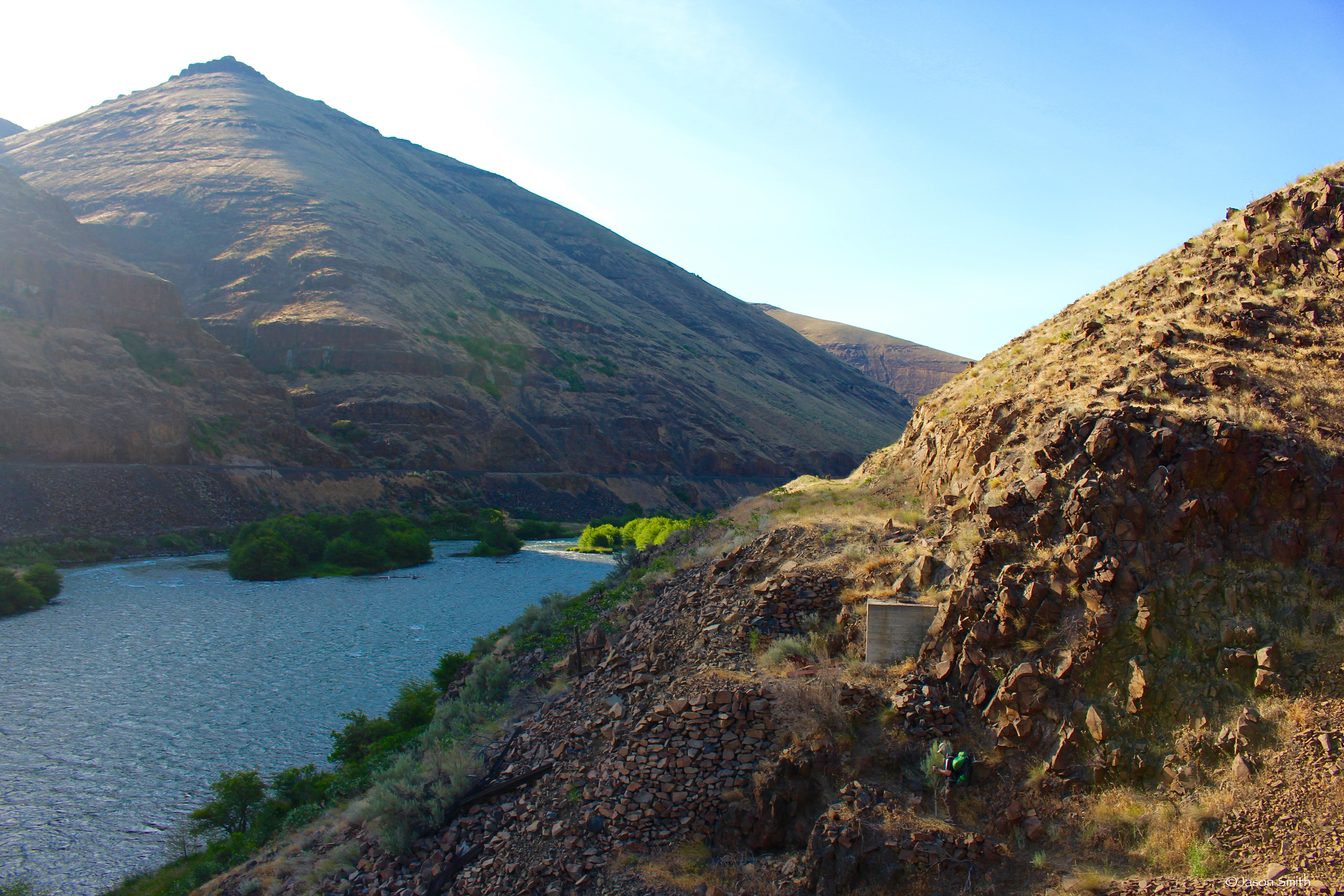
(Photo Sphere)
About a mile in, the terrain switched to rolling, grassy hills. 
(Photo Sphere)
(Another Photo Sphere 1,000 feet further)
We reached Sixteen Canyon, our intended camp destination.
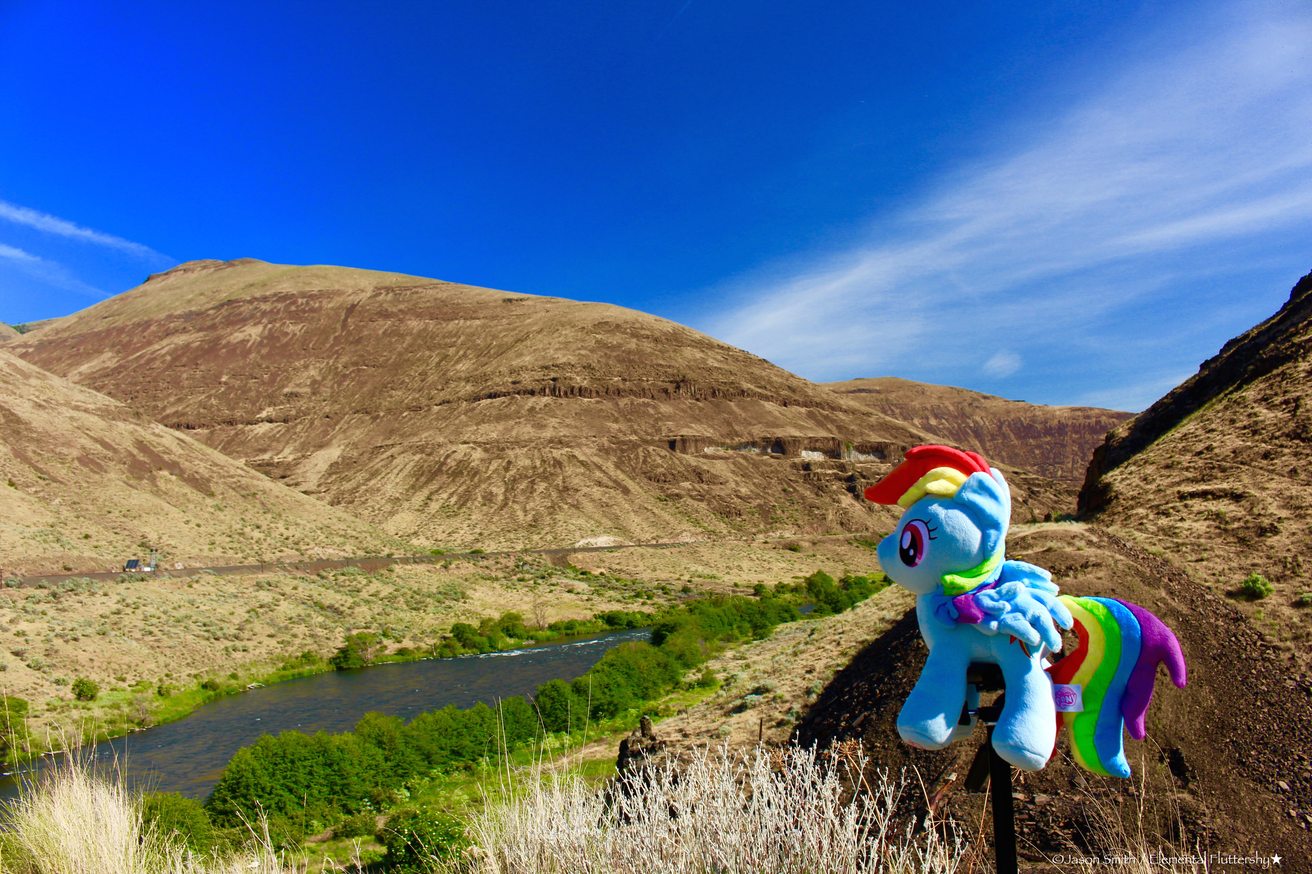
Looking out over Sixteen Canyon: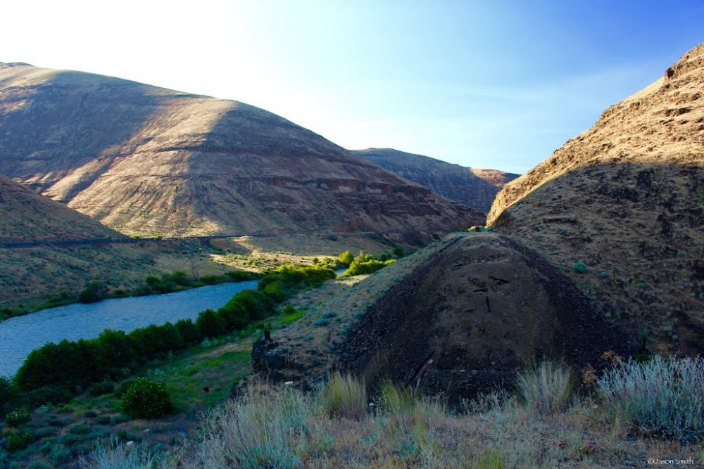
We pitched our tents on the extended embankment. The wind was incredibly strong in the afternoon while we were setting up the tents; our campsite was very exposed, situated between two canyons which funneled down air in two directions. We had to weigh them down them with lots of large rocks. The wind died down by nightfall.
My Tarptent Double Rainbow tent (it faired really well in the strong wind we had that afternoon)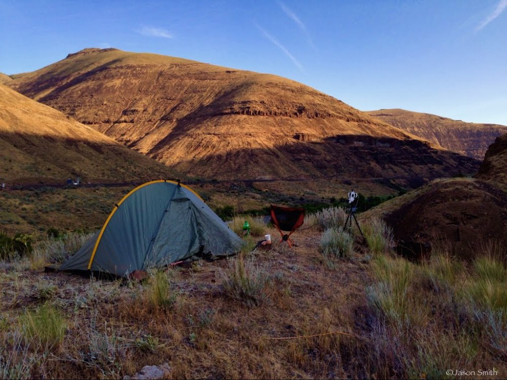
Looking back the way we came: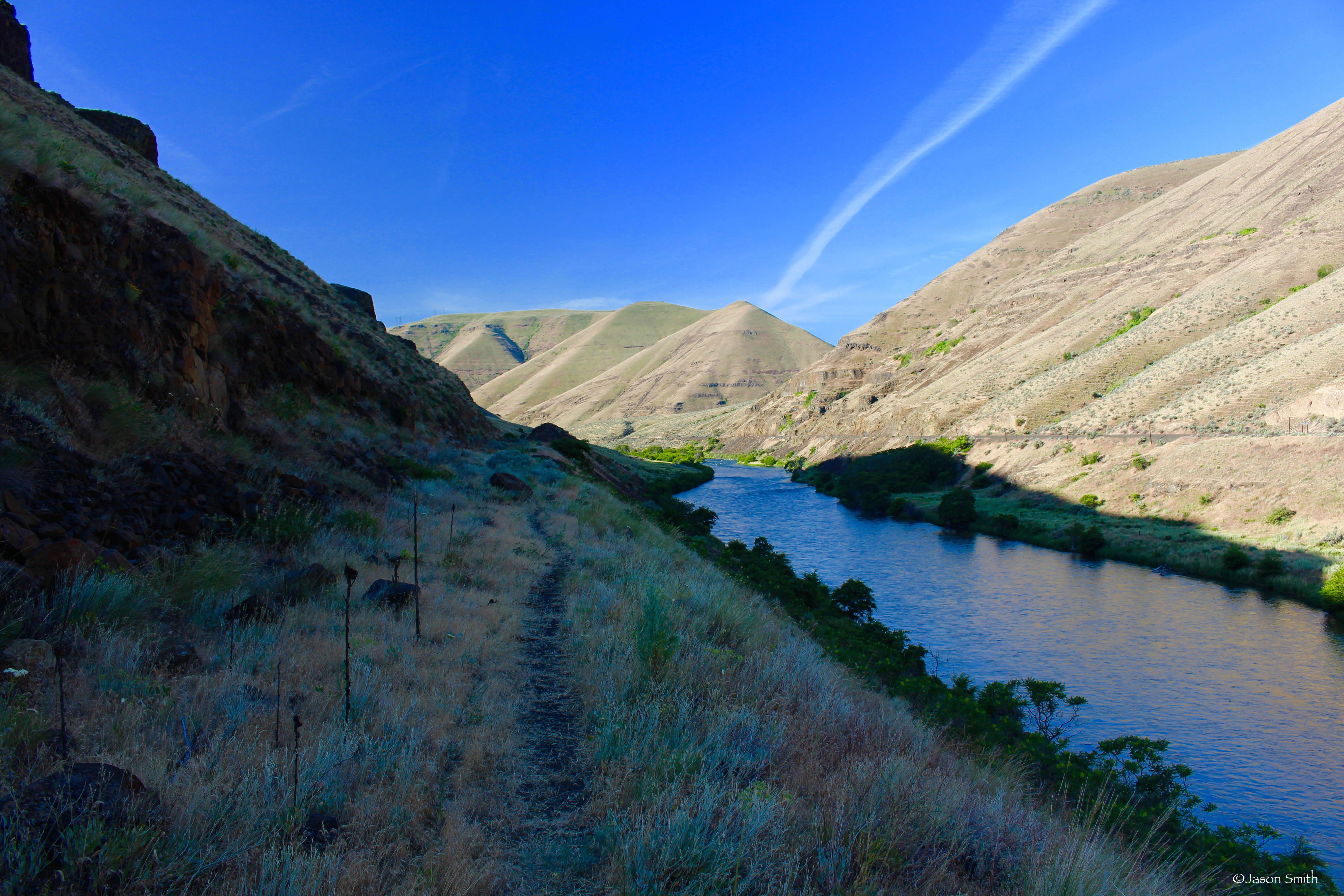

Sunrise the next day. 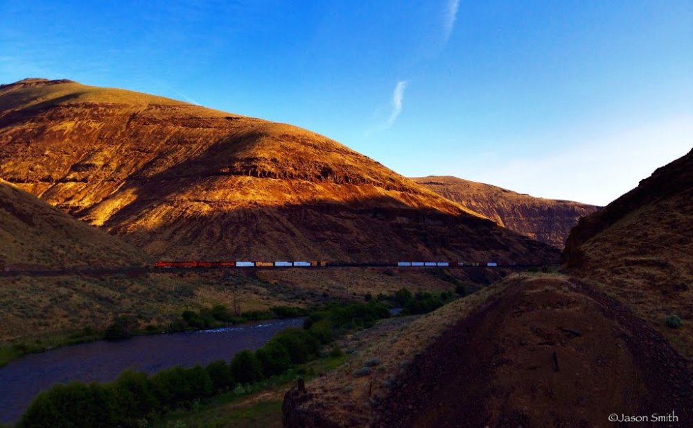
I created a timelapse of the sunrise.
https://www.youtube.com/watch?v=kaorc_fXqco

0 Comments
Recommended Comments
There are no comments to display.
Create an account or sign in to comment
You need to be a member in order to leave a comment
Create an account
Sign up for a new account in our community. It's easy!
Join the herd!Sign in
Already have an account? Sign in here.
Sign In Now